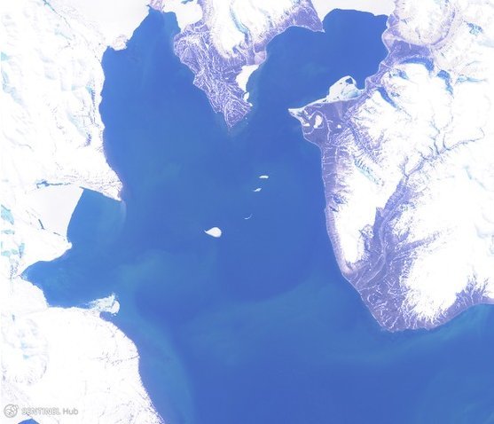
In autumn 2019 SIOS held a training course on how to effectively use satellite data, tools and software in the context of marine research in Svalbard. The course was intended for researchers, PhD students and technicians with no or little experience with satellite remote sensing techniques. The training was delivered by marine remote sensing experts from SIOS member institutions and ESA. The goal of the course was to teach participants the basic skills needed to work independently to acquire, analyse and visualise marine data sets derived from a variety of satellite sensors.
- Time: 2-5 September 2019
- Location: Longyearbyen, Svalbard
- Recordings: Not available
COURSE PROGRAMME
- 2 September 2019
-
Introduction to marine remote sensing: overview of marine satellite remote sensing applications using Copernicus satellites
Morten Hansen (Norwegian Meteorological Institute)Phytoplankton blooms, chlorophyll and CDOM from optical data
Anton Korosov (NERSC)Retrieval of phytoplankton blooms, chlorophyll and CDOM from optical data (hands-on)
Anton Korosov (NERSC)Retrieval of high-resolution sea ice drift and deformation from SAR
Anton Korosov (NERSC)Retrieval of high-resolution sea ice drift and deformation from SAR (hands-on)
Anton Korosov (NERSC)Group work: Phytoplankton blooms and/or ice drift (hands-on)
Anton Korosov (NERSC) - 3 September 2019
-
Basic radar and SAR remote sensing
Ole Morten Olsen (Norwegian Space Agency)Sea ice and waves
Ole Morten Olsen (Norwegian Space Agency)Oil spills and natural slicks
Ole Morten Olsen (Norwegian Space Agency)SAR wind retrieval and validation
Morten Hansen (Norwegian Meteorological Institute)SAR wind retrieval and validation (hands-on)
Morten Hansen (Norwegian Meteorological Institute)Excursion to SvalSat facility
Bo Andersen (Norwegian Space Agency) - 4 September 2019
-
Ships and icebergs
Ole Morten Olsen (Norwegian Space Agency)Free and open access to Copernicus data
Ole Morten Olsen (Norwegian Space Agency)Online free and open data for marine scientists, portals for data visualisation, and various data inventories for field scientists
Morten Hansen (Norwegian Meteorological Institute)Applications of satellite and Argo observations (in situ) for marine scientists
Morten Hansen (Norwegian Meteorological Institute)Data downloading, processing and basic applications of satellite data and Argo data for marine scientists (hands-on)
Morten Hansen (Norwegian Meteorological Institute)Remote sensing of icebergs and ice floes
Jørgen Buus-Hinkler (DMI) - 5 September 2019
-
Retrieval of sea ice thickness & snow on sea ice using remote sensing
Eero Rinne (FMI)SIOS Introduction
Shridhar Jawak (SIOS-KC)Future training requirements
Shridhar Jawak (SIOS-KC)
GENERAL COURSE INFORMATION
- Target audience
-
Anyone from field scientists, marine scientists, biological oceanographers and marine biologists with little or no background in remote sensing.
- Course objectives
-
Objectives
Many field scientists, field oceanographers, biological oceanographers and marine biologists from SIOS member and observer institutions have been working on research projects which would greatly benefit from the addition of a satellite remote sensing viewpoint. However, they may lack the necessary training required to make easy but effective use of freely available data sets, tools, and software. Ph.D. students from SIOS member or observer institutions who are about to begin careers using satellite remote sensing as an integral part of their research projects can also benefit from this training course.
Topics covered during the training
The training course will include lectures and hands-on sessions focusing on:
overview of marine satellite remote sensing applications using Copernicus satellites, online free and open data for marine scientists, portals for data visualisation and various data inventories for field scientists, retrieval of high-resolution ice drift and deformation from SAR, remote sensing of phytoplankton blooms using case studies, in situ and satellite-based primary productivity and bio-optical studies in fjords, estimation of chlorophyll and generation of chlorophyll maps of fjords of Svalbard.
- Lecturers
-
- Morten Hansen (Norwegian Meteorological Institute)
- Anton Korosov (NERSC)
- Ole Morten Olsen (Norwegian Space Agency)
- Jørgen Buus-Hinkler (DMI)
- Eero Rinne (FMI)


