 Data
Data Events
 Projects and networks
 Svalbard Observing System
 Logistics
 Remote Sensing
 The SESS report
 Jobs, calls & opportunities
 Contact
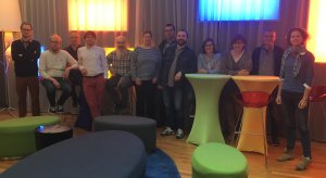
The last two days, authors of the next SESS report gathered in Oslo to exchange information and find synergies between the contributions.
![]()
An international observing system for long-term measurements in and around the Norwegian archipelago of Svalbard addressing Earth System Science questions
The last two days, authors of the next SESS report gathered in Oslo to exchange information and find synergies between the contributions.
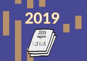
A second round of funding for contributions to the SESS report 2019 has been opened. It is earmarked for updates on previous chapters.
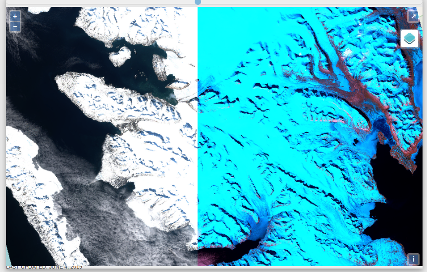 A new visualization tool for Sentinel-2 products has been made available. It is now possible to quickly compare S2 products from different days and using different RGB composites within a specific area (Tile). Tile selection can be done with a mouse click or by tile name.
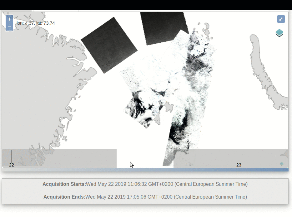 A new visualization tool has been released. It collects the Sentinel-1 (S1) and Sentinel-2 (S2) data available around Svalbard via the National Ground Segment (NBS - Nasjonalt BakkeSegment, see satellittdata.no), for the last 3 days.
After the first round of application there are some places left for the SIOS training course on marine remote sensing in Svalbard and we open a second round allowing also applications from non-SIOS members! The course will take place in Longyearbyen, 2-5 September and is free of charge.
UPDATE: Application is closed. All places are filled!
![]()
![]()
![]()
![]()
![]()

We do not use advertising services.